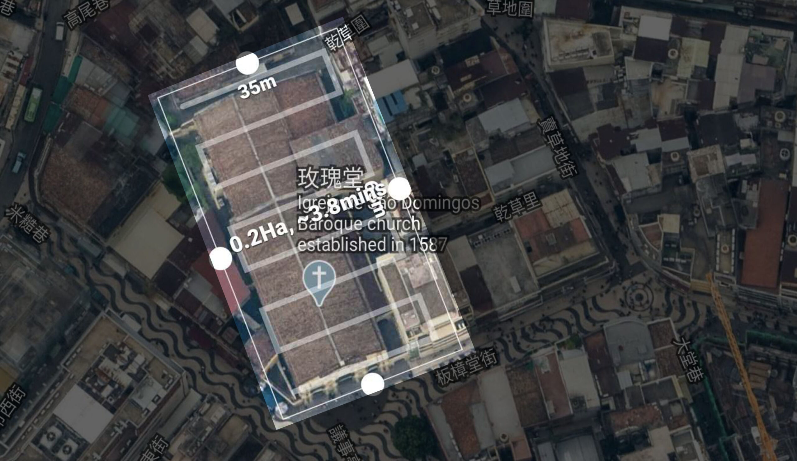
The staff of the construction engineering company have professional industry knowledge, but in the process of plan design, modification and construction, they often need to cooperate with many non-professional personnel, and they will encounter some insurmountable problems:
- Massive drawing files: drawing architectural plans such as plans, elevations, electric wire drawings and water pipe drawings should be in a short time. Because of the large number of documents, it is difficult to manage and find them.
- Multi-party communication: for a project, a large number of independent images or videos need to be taken to live in the same space, making communication chaotic.
- Long-distance acceptance: for each stage of acceptance, it is necessary to go to the construction site or the site in person before acceptance, which increases all kinds of hidden costs.
The traditional way of presentation is also increasingly unable to meet the requirements of most customers for the way of presentation. With the development of science and technology, VR360 technology is a branch of virtual reality with rapid development and gradual popularity. It uses on-the-spot shooting, and then splices the shot content images to generate a complete spatial scene. Compared with traditional images or videos, VR360 can build more complete scenes, thus it has been gradually popularized in the domestic and foreign construction industries.
At present, even if all participants can not arrive in person, they can see the actual objects and environment so as to carry out the corresponding works. With utilization of VR360, in the early of the project, we can collect the on-site objects and environment completely, acquire the 3D data, and understand comprehensively the project site, so as to achieve a long-distance inspection, realize a remote measurement and reduce the site prospecting.
By collecting all images and data at once to replace thousands of photos, the time is saved due to no necessary to record, arrange and mark photos.
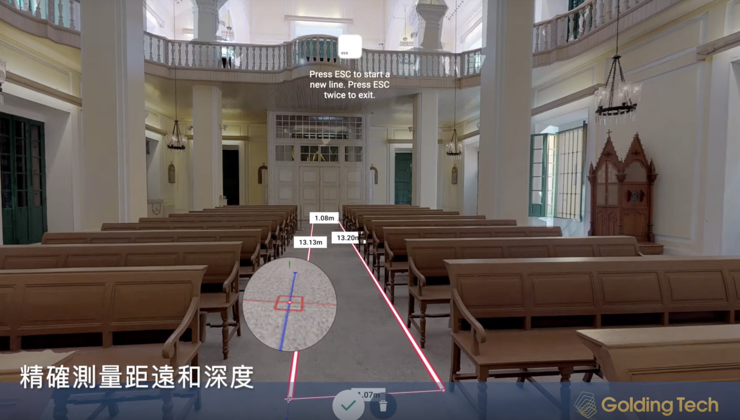
VR360 is convenient for users to make relevant drawings and is helpful for users to acquire the plans, sections, profiles and such drawings of engineering by one-click and high-precision measurement data including length and depth. In addition, the data can be used for quality inspection and quality control to inspect and monitor the completion conditions.
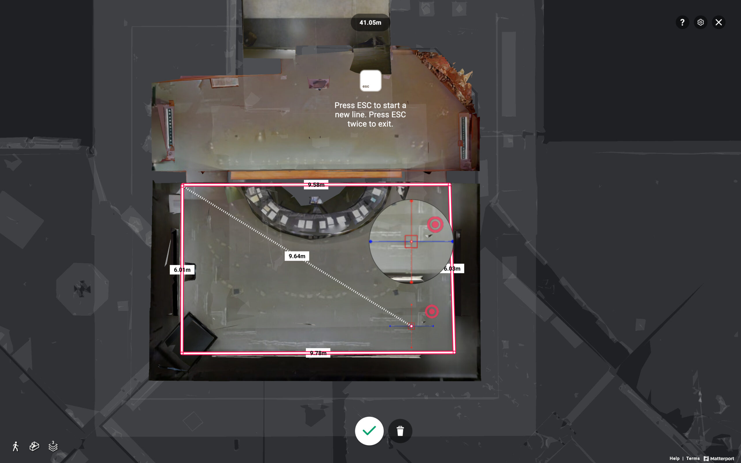
At the same time, VR360 is convenient to capture the space that is difficult to visualize, and can measure in area that is hard to reach, such as pipelines, trusses and ceiling beams, etc., which can be easily obtained.
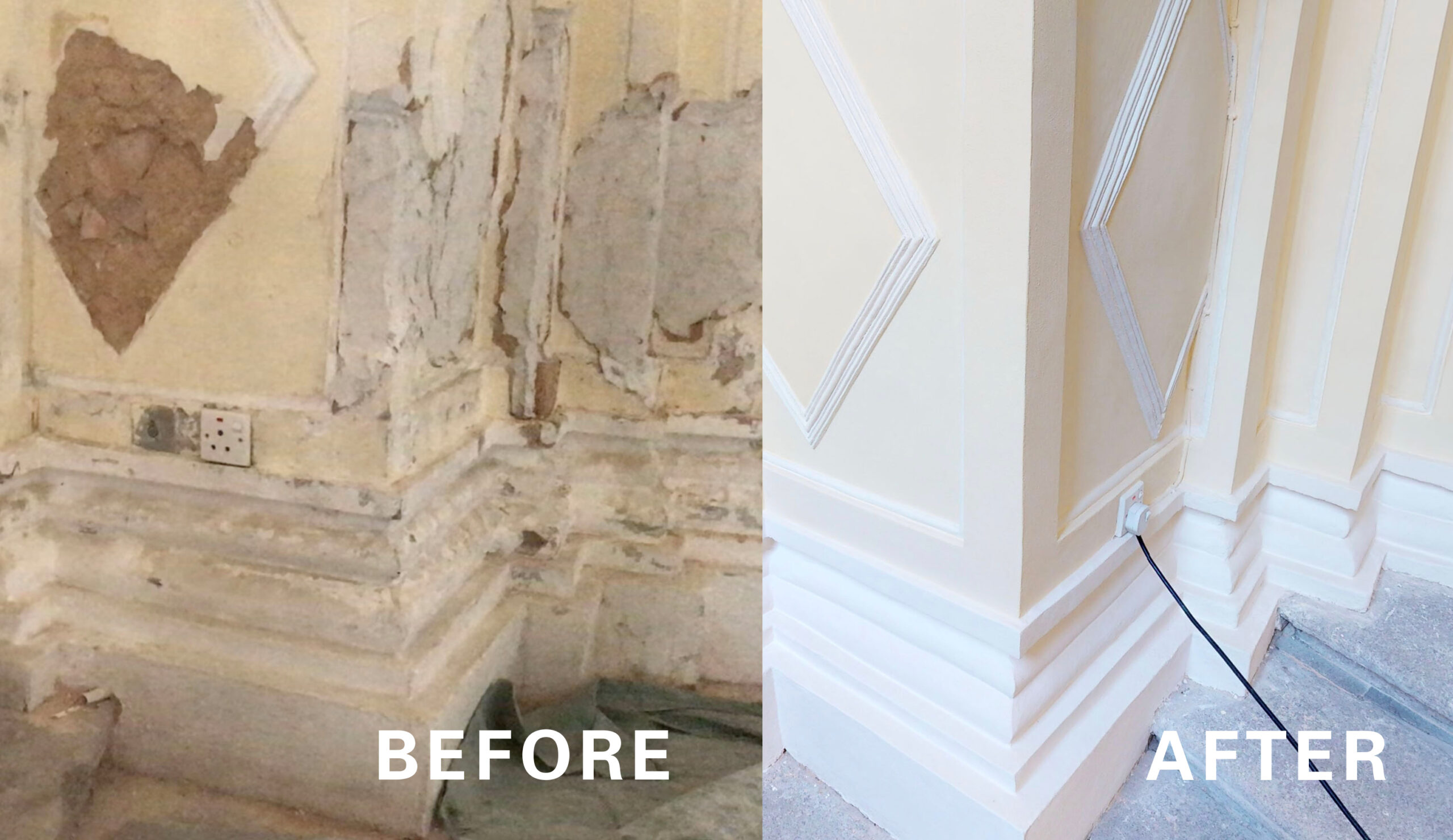
The outdoor shooting by the aerial camera, combined with indoor 3D scanning, can truly record the construction process, especially for the 3D actual objects and environment of some key placements. On the one hand, it is convenient for the inspection and acceptance of concealed works. On the other hand, it is also convenient for the building owner to assist maintenance personnel to truly understand the concealed works in the future maintenance management. Also, we can take notes at any place of inside and outside of shared space so that VR360 can express the details more effectively, improve the familiarity of the system and the efficiency of emergency response.
